Background
Farmers around the world grapple with a myriad of challenges that threaten their livelihoods and food security. These challenges include unpredictable weather patterns that disrupt planting and harvesting schedules, pest infestations that damage crops, outbreaks of diseases that affect livestock, and even political tensions that impact trade and access to essential resources. These factors collectively contribute to the vulnerability of agricultural communities by impacting crop health, profitability, and overall sustainability.
Innovative solutions that empower farmers to leverage data-driven insights from trusted resources—including NASA Earth data—are needed to tackle challenges related specifically to water. Farming and agronomy are already full-time jobs; a means for the agricultural community to take advantage of the free Earth observation data NASA offers without needing to become data scientists could reap tremendous benefits.
The current landscape reveals a growing interest in applying satellite data and advanced technologies to address agricultural challenges; however, it can be challenging to translate complex data into actionable information farmers can use. Traditional farming practices often rely on experience and intuition, which may not be sufficient to mitigate increasingly complex and unpredictable environmental conditions. The lack of access to timely and relevant data exacerbates these challenges, hindering the ability of farmers to make informed decisions and adapt quickly to changing circumstances. Past efforts to integrate large authoritative datasets for these purposes have often struggled due to lack of a “farmer-centric” design, limited stakeholder engagement, and inadequate scalability of solutions.
It is vital to keep these pressures and vulnerabilities in mind when considering issues such as global food security, water availability, and the resilience of agricultural systems in the face of climate change and other environmental stressors. A tool that bridges the gap between NASA's wealth of Earth Observation (EO) data and the practical needs of agricultural communities would be invaluable to foster resilience, sustainability, and community empowerment in the face of ongoing challenges.
Objectives
Your challenge is to design a tool that connects the agricultural community with NASA’s satellite and geospatial datasets in ways that increase data access, integration, reporting, and/or advising about a water-related environmental topic of concern to farmers. By integrating NASA datasets and data analyses in your tool’s design, you can create new solutions and prototypes that support farmers by providing improved prediction capacity, risk management, and/or decision-making processes.
Your tool could embody the power of agricultural technology, empowering farmers with real-time data and expert guidance relating to changes in water resources. With this knowledge in hand, farmers could optimize production, manage resources efficiently, and ultimately make smarter decisions about crops and livestock.
Whatever type of tool you design, don’t forget your target users! How can you make your tool relevant and easy to use for the agricultural community? For example, farmers will likely want to determine the characteristics of water resources for selected spatial and temporal ranges. They will want to understand how the information relates to their specific situation (e.g., locale, size, and type of farm, etc.). Can you develop a tool to explain the data in practical terms and visualize the information in a useful way?
Technology has the power to revolutionize farming. Imagine a super-powered tool that helps farmers unlock the dynamics of the hydrologic cycle to help them better manage their land. That's exactly what we're aiming for with this challenge! What are your ideas for connecting farmers to Earth observation data and information in innovative ways? Share your thoughts and ideate a tool that truly empowers the future of farming!
Potential Considerations
You may (but are not required to) consider the following:
To determine whether this challenge is the right fit for you, consider if one or more of the following apply:
The goal of the challenge is to design an easy-to-use tool that will help the agricultural community:
Evapotranspiration: ECOSTRESS, MODIS, Landsat
Here are some ideas to consider as you ideate your design:
For data and resources related to this challenge, refer to the Resources tab at the top of the page. More resources may be added before the hackathon begins.
Jeddah
Sep 08, 2024
Leveraging Earth Observation Data for Informed Agricultural Decision-Making
Leveraging Earth Observation Data for Informed Agricultural Decision-Making
يهدف المشروع إلى تطوير نظام يستخدم بيانات الأقمار الصناعية وتقنيات الذكاء الاصطناعي لتحسين دقة التنبؤات الجوية. يمكن أن يساعد هذا النظام في تقديم تنبؤات أكثر دقة للطقس المحلي والعالمي.و توفير توقعات الطقس الدقيقة والسريعة. تحسين استجابة المجتمعات للكوارث الطبيعية من خلال التنبؤات المبكرة
Our team needs 1 membersRequest to Join the Team |

Makkah
Sep 08, 2024
Leveraging Earth Observation Data for Informed Agricultural Decision-Making
Leveraging Earth Observation Data for Informed Agricultural Decision-Making
في ظل التغيرات المناخية السريعة والممارسات الخاطئة لدى المجتمعات في عملية تدمير الطبيعية ، تواجه العديد من النباتات خطر الانقراض. من هذا المنطلق تأتي فكرتنا بابتكار حل يعتمد على تحليل البيانات المناخية المتقدمة باستخدام تقنيات الذكاء الاصطناعي وخوارزميات تعلم الالة لتحديد المواقع الجغرافية المثلى لحماية هذه النباتات. سنقوم بجمع بيانات شاملة حول الظروف المناخية ومتطلبات نمو النباتات المهددة، وبناء نماذج تنبؤية دقيقة لتحديد المواقع المناسبة لنقل أو حماية هذه الأنواع لضمان بقائها. بالإضافة إلى ذلك، سنطور موقعًا إلكترونيًا يتيح للمستخدمين الوصول إلى هذه البيانات والتوصيات، مما يمكنهم من المساهمة في حماية النباتات المهددة. سيمكننا هذا النهج التحليلي من التنبؤ بالتغيرات المناخية المستقبلية ووضع خطط استباقية، مما يعزز الحفاظ على التنوع البيولوجي وتحقيق استدامة بيئية طويلة الأمد مما يتماشى مع أهداف رؤية المملكة 2030 في تعزيز التنمية المستدامة والحفاظ على الموارد الطبيعية سوف يستفيد من هذا المشروع العلماء البيئيون،والباحثين البيئيين الذين يهتمون بحماية الأنواع النباتية المهددة بالانقراض من الحصول على بيانات تساعدهم في عملية اتخاذ قرارات مهمة واكمال الابحاث في هذا المجال إضافة إلى المؤسسات البيئية وصناع القرار الذين يسعون لاتخاذ تدابير فعّالة للحفاظ على التنوع البيولوجي. كما يمكن أن يستفيد منها المزارعون وأصحاب المشاريع الزراعية الذين يرغبون في الحفاظ على النباتات المهمة بيئيًا واقتصاديًا.

Dammam
Sep 08, 2024
Leveraging Earth Observation Data for Informed Agricultural Decision-Making
Leveraging Earth Observation Data for Informed Agricultural Decision-Making
A data-centric solution for agricultural water management involves developing a comprehensive analytics platform that integrates NASA's Earth observation datasets, including IMERG for precipitation, SMAP for soil moisture, and ECOSTRESS for evapotranspiration. This platform would feature predictive analytics to forecast water availability and crop needs using machine learning models. Additionally, a decision support system would provide real-time insights and actionable recommendations for irrigation and drought preparedness. Interactive dashboards would visualize key metrics and regional data trends, while a community-based data sharing platform would facilitate collaboration among farmers. Educational resources would enhance users' ability to interpret data effectively, ultimately empowering the agricultural community to make informed decisions that enhance productivity and sustainability.

Taif
Sep 08, 2024
Leveraging Earth Observation Data for Informed Agricultural Decision-Making
Leveraging Earth Observation Data for Informed Agricultural Decision-Making
"تطوير نظام بيئي متكامل لتوفير بيئة مناسبة للعيش في الفضاء، يركز على استخدام تقنيات الزراعة العمودية وأنظمة إعادة تدوير المياه والموارد. "
Our team needs 2 membersRequest to Join the Team |
Riyadh
Sep 08, 2024
Leveraging Earth Observation Data for Informed Agricultural Decision-Making
Leveraging Earth Observation Data for Informed Agricultural Decision-Making
" هل يمكن للتكنولوجيا أن تحل مشاكل المزارعين؟ نعم، يمكن للتكنولوجيا أن تلعب دورًا حاسمًا في معالجة التحديات التي يواجهها المزارعون حول العالم. فالمزارعون، سواء كانوا يعتمدون على الزراعة التقليدية أو الحديثة، يعانون من مجموعة متنوعة من المشكلات التي تهدد إنتاجهم وسبل عيشهم، مثل التغيرات المناخية وآفات المحاصيل. لتجاوز هذه التحديات، تم تطوير أدوات تكنولوجية متقدمة تجمع بين: *تطبيق لمعرفه البيانات * الأقمار الصناعية * الذكاء الاصطناعي * الطائرات بدون طيار (الدرونز) * الأجهزة الاستشعارية هذي الاداء ستساعد المزارعين في الحفاظ على الموارد الطبيعية: من خلال إدارة المياه والتربة بشكل أكثر كفاءة. * زيادة الإنتاجية: عن طريق تحديد أفضل الممارسات الزراعية وتجنب الخسائر الناجمة عن الآفات والأمراض. * اتخاذ قرارات مستنيرة: تمكين المزارعين من الحصول على معلومات دقيقة واتخاذ قرارات سريعة ومدروسة. باختصار، هذه التقنيات الحديثة تهدف إلى تحقيق الزراعة المستدامة، وحماية البيئة، وتحسين حياة المزارعين. "
Our team needs 3 membersRequest to Join the Team |
Bisha
Sep 08, 2024
Leveraging Earth Observation Data for Informed Agricultural Decision-Making
Leveraging Earth Observation Data for Informed Agricultural Decision-Making
Mozn is a cutting-edge, approachable Web tool that gives farmers, agricultural stakeholders and disaster management agencies up-to-date forecasts of flood and drought dangers. With the use of advanced prediction algorithms and NASA data, this application provides users with insights that can be used to make well-informed decisions regarding resource allocation and crop management. The real-time risk assessment based on actual data that has been trained on, the user-friendly interface, the customization of inputs to make specific predictions, mobility, and data visualization to give a better understanding of climate changes and their potential effects on agriculture are what distinguish Mozn.
Our team needs 3 membersRequest to Join the Team |
Hail
Sep 08, 2024
Leveraging Earth Observation Data for Informed Agricultural Decision-Making
Leveraging Earth Observation Data for Informed Agricultural Decision-Making
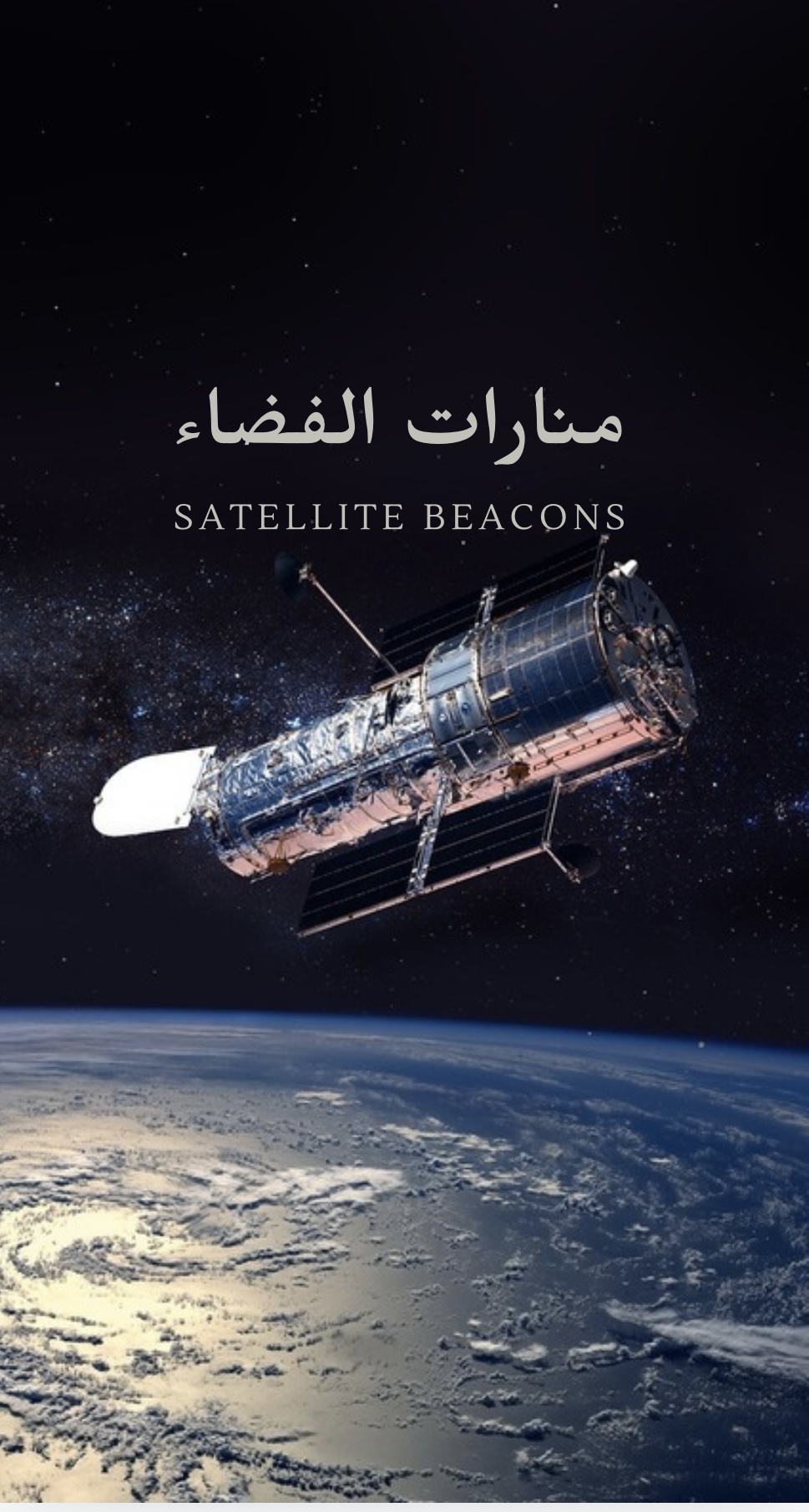
"امكانيات المنارة الفضائية للارض : كنت افكر هل يمكننا نشر وتوسعة نطاق المنارات في التكنلوجيا اكثر واكثر؟ حيث لا يحتصر على النشاطات التي تكون في الاجهزة مثل الكمبيوتر والهاتف فقط ، حيث يمكننا تطويرها في الامن والزراعة والصناعة والتعليم عن طريق التكنلوجيا ."
Our team needs 5 membersRequest to Join the Team |

Qatif
Sep 08, 2024
Leveraging Earth Observation Data for Informed Agricultural Decision-Making
Leveraging Earth Observation Data for Informed Agricultural Decision-Making
"نظام ذكي شامل لإدارة الموارد الزراعية والبيئية يتيح للمزارعين مراقبة استخدام المياه، صحة المحاصيل، وانبعاثات الكربون في منصة واحدة. يعتمد على بيانات الأقمار الصناعية مثل Landsat وNASA Earth Observation لتقديم توصيات مخصصة حول تحسين الري، تقليل الانبعاثات، وتحسين جودة التربة. يتميز بواجهة بسيطة وسهلة الاستخدام تقدم رؤى فورية للمزارعين لتحسين استدامة إنتاجهم وتقليل الأثر البيئي. الجمهور المستهدف: المزارعون، المؤسسات الزراعية. ميزات فريدة: تكامل الموارد، تنبؤات ذكية، تقليل الانبعاثات، واجهة مستخدم تفاعلية."
Bisha
Sep 08, 2024
Leveraging Earth Observation Data for Informed Agricultural Decision-Making
Leveraging Earth Observation Data for Informed Agricultural Decision-Making
مشروعنا يهدف إلى توفير منصة إلكترونية مبتكرة للمزارعين باستخدام تقنيات الذكاء الاصطناعي وبيانات ناسا لتحليل البيانات البيئية والتاريخية. تستهدف المنصة المزارعين في المملكة العربية السعودية، وتقدم توصيات دقيقة حول المحاصيل المناسبة لكل منطقة وتنبؤات بالمشاكل الزراعية مثل نقص المياه والأمراض. تتيح المنصة للمزارعين اتخاذ قرارات مدروسة لتعزيز الإنتاجية وتقليل المخاطر، مما يعزز الأمن الغذائي ويحقق استدامة الزراعة
Riyadh
Sep 08, 2024
Leveraging Earth Observation Data for Informed Agricultural Decision-Making
Leveraging Earth Observation Data for Informed Agricultural Decision-Making
الغابات الذكية المدعومة بالذكاء الاصطناعي لإزالة ثاني أكسيد الكربون تعتمد على دمج تقنيات الذكاء الاصطناعي وإنترنت الأشياء لإنشاء غابات قادرة على امتصاص الكربون بفعالية. من خلال أجهزة استشعار تراقب نمو الأشجار وجودة التربة ومستويات الكربون في الوقت اللحظي، يمكن للذكاء الاصطناعي تحسين إدارة الري والعناصر الغذائية لتحقيق أقصى قدر من امتصاص الكربون. كما توفر هذه الغابات تقارير آلية عن الكربون، وتحافظ على التنوع البيولوجي، وتكشف عن أي تهديدات محتملة للنظام البيئي. تسهم هذه التكنولوجيا في تحقيق الاستدامة من خلال إنشاء أنظمة ذاتية التنظيم وفعالة في إزالة الكربون عالميًا.
Our team needs 2 membersRequest to Join the Team |

Medina
Sep 08, 2024
Leveraging Earth Observation Data for Informed Agricultural Decision-Making
Leveraging Earth Observation Data for Informed Agricultural Decision-Making
"التحدي الذي نواجهه هو الاستفادة من بيانات مراقبة الأرض لدعم القرارات الزراعية المتعلقة باستخدام المياه. لحل ذلك، طورنا تطبيق ""ري-تيك""، الذي يعتمد على الذكاء الاصطناعي لتحليل بيانات الطقس من وكالة ناسا وقياسات رطوبة التربة باستخدام أجهزة استشعار متقدمة. التطبيق يساعد في جدولة الري بذكاء، مما يعزز كفاءة استخدام المياه ويزيد إنتاجية المحاصيل. يستهدف ""ري-تيك"" المزارعين ومديري المزارع، إلى جانب مؤسسات الزراعة والمستثمرين المهتمين بالاستدامة. يتميز التطبيق بتقليل هدر المياه وتحسين صحة المحاصيل عبر تقنيات الذكاء الاصطناعي ومعالجة البيانات الكبيرة باستخدام أدوات مثل TensorFlow، مع تخزين البيانات وتحليلها عبر الحوسبة السحابية لضمان الأداء الأمثل."
Bisha
Sep 08, 2024
Leveraging Earth Observation Data for Informed Agricultural Decision-Making
Leveraging Earth Observation Data for Informed Agricultural Decision-Making
"الزراعة والتكنولوجيا نحو الأفضل استغلال بيانات مراقبة الأرض لاتخاذ قرارات زراعية مستنيرة المزارعون ولكل من يهتم بمجال الزراعة تصميم جهاز حساس لإجراء عمليات المراقبة من الاقمار الصناعية للأرض لأختبار الجزء الأرضي المراد الزراعة فيه هل هي صالحة للزراعة ام لا ؟ وإضافة لتنبؤات مناخية وغيرها لتحسين الزراعة وتسهيلها وجودة للمحاصيل ذلك للتفادي و الحد من انهيار النبات و الأشجار مما يترتب على ذلك خسائر فادحة"